Half Moon Bay's flood zone can change block by block — here is how to find yours
Why this matters in Half Moon Bay
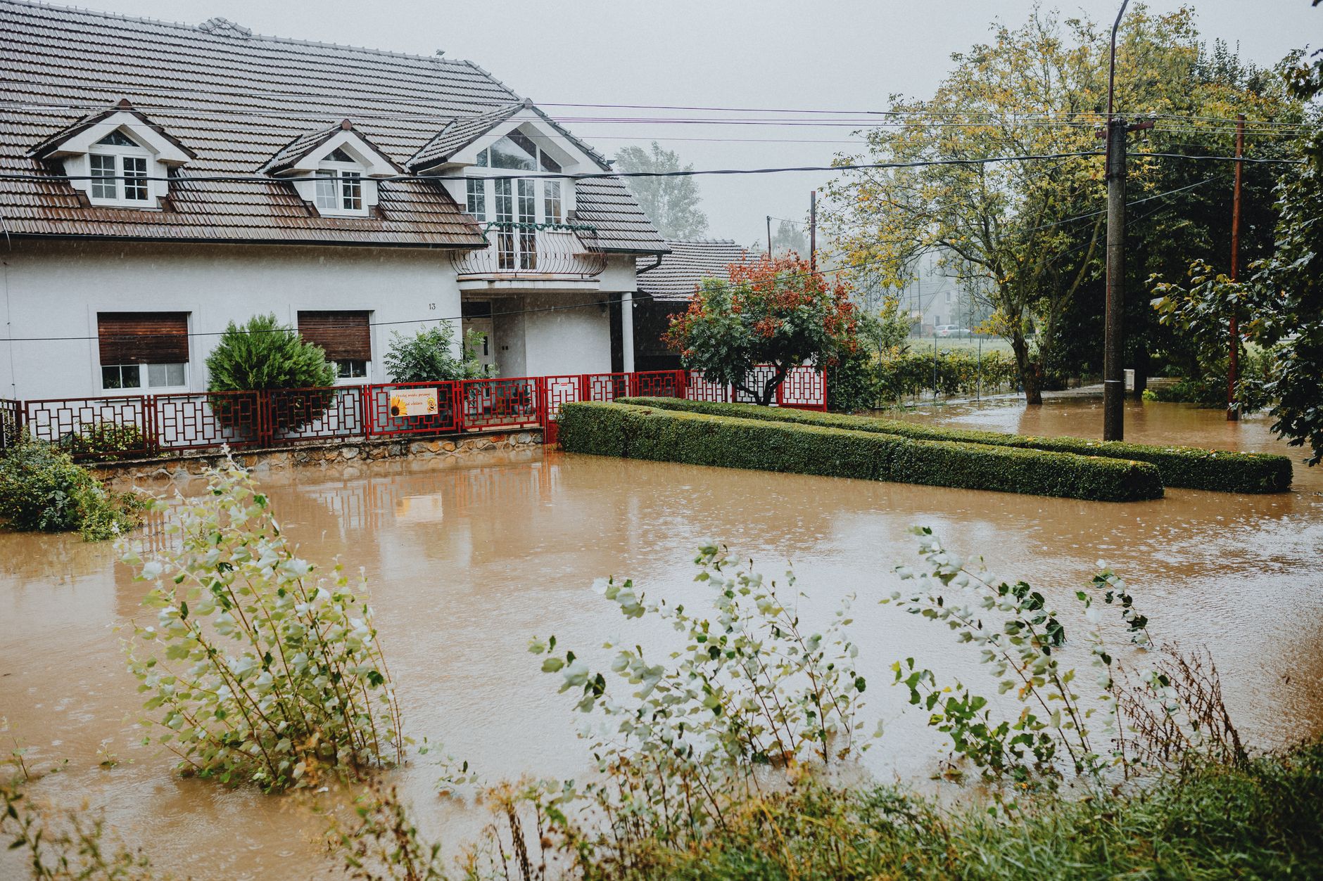
Of the 5,102 parcels in this market's record with a known build year, more than 2,500 were built before 1980. That matters because the flood maps that govern insurance, lending, and permitting here were not in their current form when most of those houses went up. The coastal terrain, Pilarcitos Creek, and the seasonal pattern that the federal Flood Insurance Study describes — very high tides, large waves, and storm swells arriving together in winter — make zone placement a real variable from parcel to parcel, not a neighborhood-wide assumption.
Half Moon Bay's homes, from the record
| Built | Homes |
|---|---|
| before 1940 | 253 |
| 1940-1959 | 347 |
| 1960-1979 | 1,946 |
| 1980-1999 | 1,855 |
| 2000 or later | 701 |
| Single-family homes | 4,280 |
|---|---|
| Median lot | 6,710 sq ft |
| On an acre or more | 61 |
| Median size | 1,970 sq ft |
5,102 of 5,942 parcels in this market's record have a known build year.
How to find your parcel's zone
The FEMA Flood Map Service Center (MSC) is the official public source for flood hazard information produced in support of the National Flood Insurance Program. To look up a specific address, navigate to msc.fema.gov and enter a street address, place name, or decimal latitude/longitude coordinates in the search field. The results page gives you the panel number, the effective date, and a link to download a FIRMette — a smaller, printable version of the map centered on your address.
Half Moon Bay holds FEMA community number 060319, and its flood data is part of the countywide Flood Insurance Rate Map for San Mateo County. That countywide FIRM is the controlling document.
A Flood Insurance Rate Map (FIRM) is the official map of a community that defines both the Special Flood Hazard Areas and the flood zones applicable to that community. It is used by the National Flood Insurance Program for floodplain management, mitigation, and insurance purposes, and is the official source for determining flood risk within a community.
What the zone letters mean
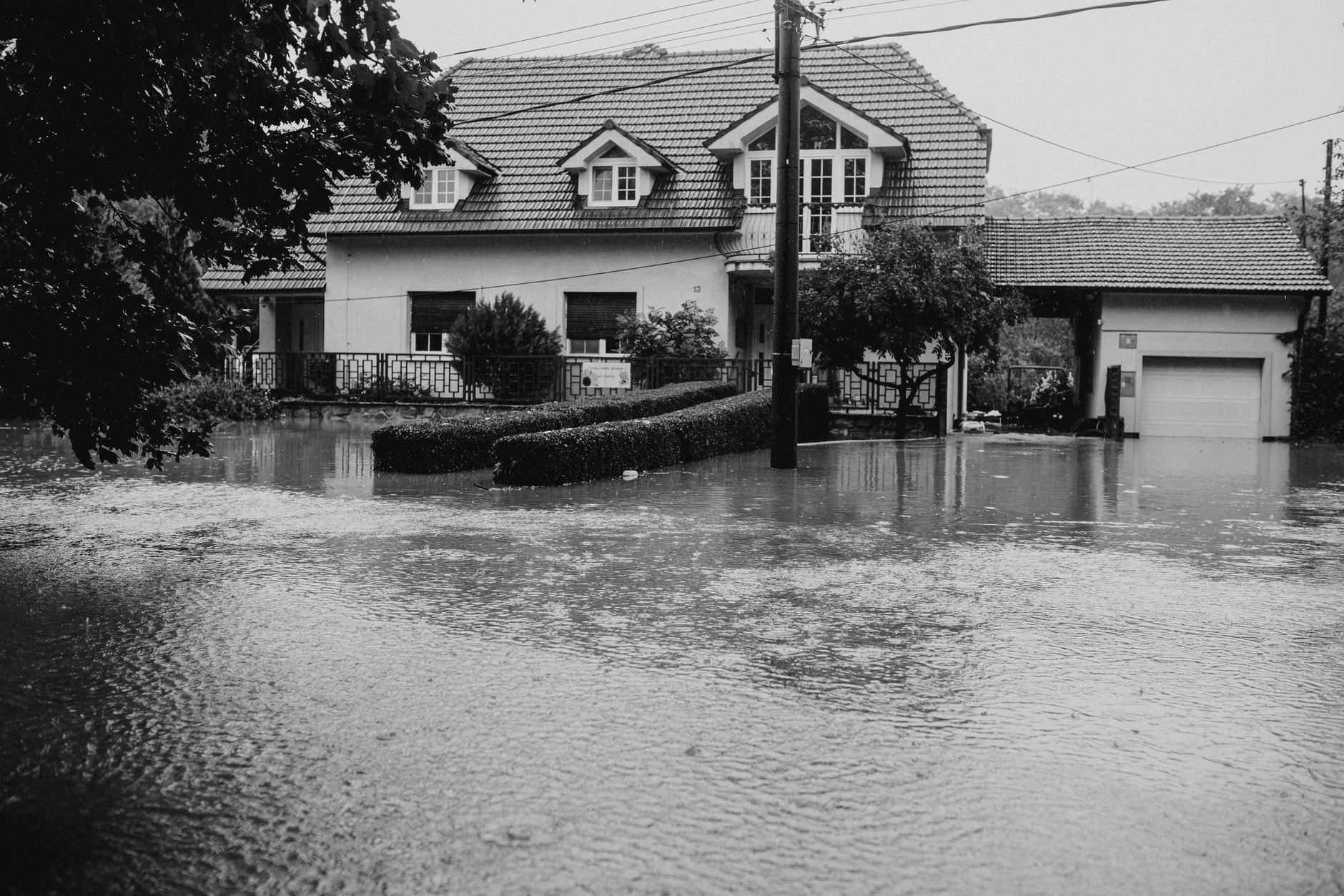
Flood maps commonly depict flood zone designations, Base Flood Elevations (BFE), and floodplain boundaries. Special Flood Hazard Areas (SFHAs) are high-risk areas shown as shaded zones beginning with the letters A or V.
For Half Moon Bay specifically:
- Zone AE is the standard high-risk inland zone, typically mapped along Pilarcitos Creek and lower-lying areas. The map shows a numeric Base Flood Elevation (BFE) — the computed water surface elevation of the 1-percent-annual-chance flood.
- Zone VE applies to coastal areas subject to wave action on top of flooding. Buildings in velocity zones face a greater hazard than buildings in other floodplains — they must be elevated above the BFE and also protected from wave impact and beach erosion.
- Zone X (shaded) covers the 0.2-percent-annual-chance flood area — lower risk, but not zero risk.
- Zone X (unshaded) means the parcel is outside the mapped 500-year floodplain. An unshaded Zone X delineates a minimal flood hazard; such lands are considered outside areas where flooding could occur on a 500-year basis. Several project sites in the city's planning record carry this designation.
Flooding from the Pacific Ocean at Half Moon Bay is typically associated with the simultaneous occurrence of very high tides, large waves, and storm swells during the winter. Ocean-front development has not been compatible with the natural instability of the shoreline and the intense winter weather.
What your zone changes about insurance
Residents who live in Special Flood Hazard Areas are required by law to purchase flood insurance if they have a mortgage from a federally regulated lender, and must carry the insurance for the life of the mortgage. The city's own flood preparedness page makes the same point plainly: consider flood insurance if you are in the flood zone; regular homeowner's insurance policies usually don't cover flood damage.
The mandatory requirement stipulates that structural coverage must be purchased equal to the amount of the loan, or other financial assistance, or for the maximum amount available, which is currently $250,000 for a single-family residence through the NFIP. Confirm current NFIP coverage limits at floodsmart.gov, as Congress adjusts them periodically.
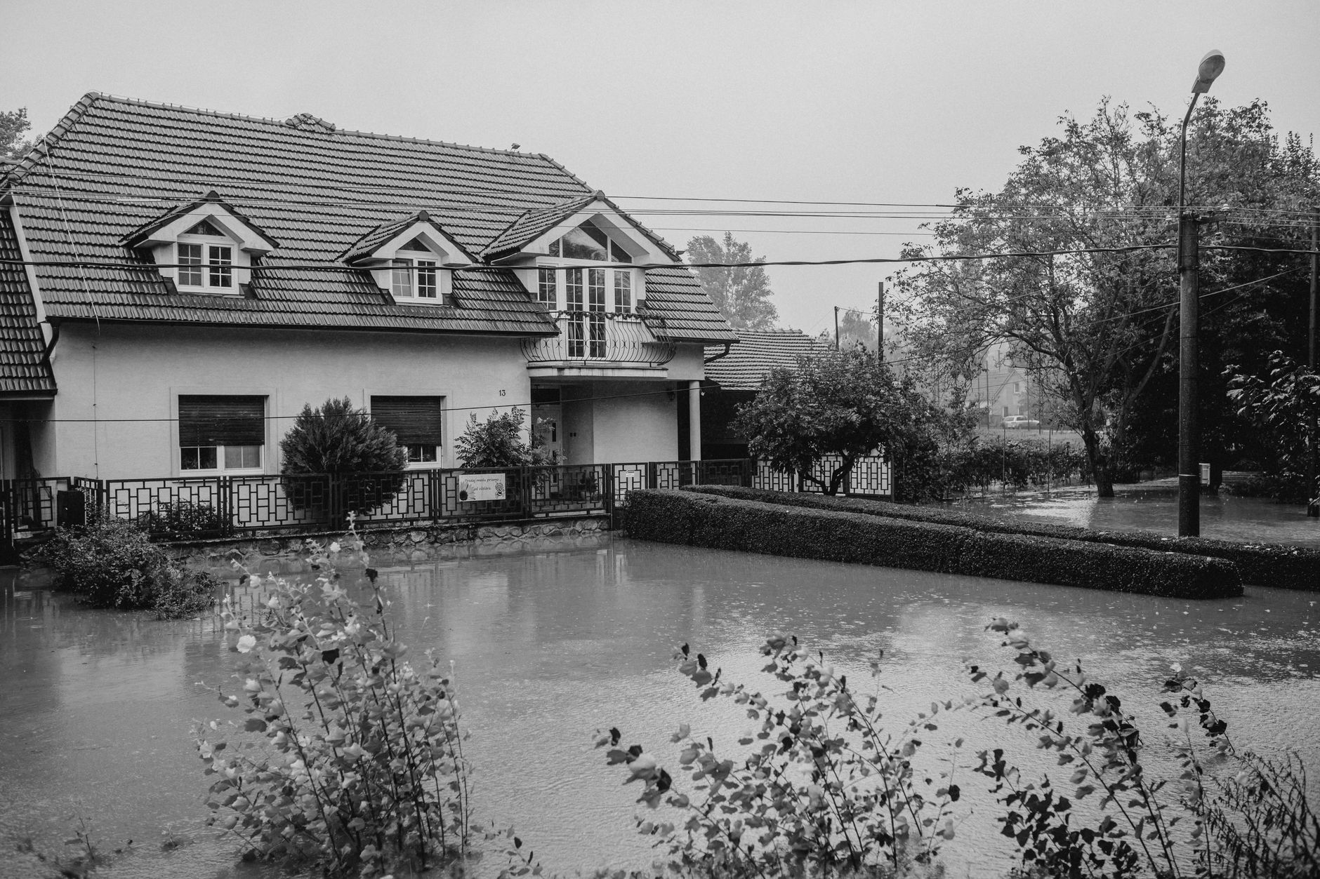
Plan ahead: there is typically a 30-day waiting period for an NFIP policy to go into effect, unless the coverage is mandated by a government-backed lender or is related to a community flood map change. Waiting until a storm is forecast is too late.
More than 25 percent of NFIP claims are filed by properties located outside the 100-year floodplain. Following the purchase of flood insurance, NFIP imposes a 30-day waiting period, so residents should purchase insurance before the onset of the rainy season. Zone X owners are not required to carry flood insurance, but they are not immune to flood loss.
What an elevation certificate is — and what it is not
The Elevation Certificate is an important administrative tool of the NFIP. It is used to provide elevation information necessary to ensure compliance with community floodplain management ordinances, to determine the proper insurance premium rate, and to support a request for a Letter of Map Amendment or Revision.
A community's permit file must have an official record showing that new buildings and substantial improvements in all identified SFHAs are properly elevated. This elevation information is needed to show compliance with the floodplain management ordinance.
The Elevation Certificate is to be completed by a land surveyor, engineer, or architect authorized by law to certify elevation information when elevation information is required for high-risk flood zones. A licensed professional — not the owner — must sign it for it to be used in permitting or insurance rating.
Importantly: use of the certificate does not provide a waiver of the flood insurance purchase requirement. Only a LOMA or LOMR from FEMA can do that.
What a LOMA is. If your house sits on ground that is actually above the BFE but was swept into an A or AE zone by the map boundary, you can ask FEMA to formally remove it. A LOMA amends the FIRM by letter and is usually issued because a property was inadvertently mapped in the SFHA but is actually above the BFE on high ground. Only a LOMA or LOMR-F from FEMA can amend the FIRM and remove the federal mandate for a lending institution to require flood insurance; however, the lending institution has the option of requiring flood insurance even if a LOMA has been issued. The lender's decision is the lender's to make — ask your lender directly.
Permits and substantial improvement
Any new construction or substantial improvement to a building in an SFHA in Half Moon Bay goes through the City's building department, which administers the local floodplain management ordinance as required by NFIP participation. As part of the agreement for making flood insurance available in a community, the NFIP requires the community to adopt a floodplain management ordinance that specifies minimum requirements for reducing flood losses — including obtaining the elevation of the lowest floor of all new and substantially improved buildings and maintaining a record of that information.
For V-zone construction specifically, the standard is stricter: a registered professional engineer or architect must certify that the design and planned methods of construction meet NFIP requirements, and the community must maintain a copy of that certification in the permit file.
If you are building or substantially improving a structure in an SFHA, ask the Half Moon Bay Building Department what freeboard (height above BFE) the local ordinance requires before you draw plans. The city's building counter, reachable at the address below, is the right starting point — not an estimate from a neighbor.
Where to check
- FEMA Flood Map Service Center (msc.fema.gov) — Look up your parcel's flood zone and download a FIRMette.
- FEMA Flood Hazard and Risk Data Viewer — Interactive map using the National Flood Hazard Layer; useful for confirming zone boundaries.
- City of Half Moon Bay — Prepare for Flooding — City's official flood preparedness page, including a direct link to FEMA flood insurance rate maps.
- San Mateo County — National Flood Insurance Program — County NFIP program information, including mandatory purchase rules and the 30-day waiting period.
- FEMA Elevation Certificate (fema.gov/glossary/elevation-certificate) — Official description of the certificate, its purpose, and the current form number.
Tim McMullen · CA DRE #02016832
[email protected] · (415) 691-9272
- https://msc.fema.gov/portal/advanceSearch
- https://www.half-moon-bay.ca.us/445/Prepare-for-Flooding
- https://www.smcgov.org/planning/national-flood-insurance-program
- https://www.fema.gov/flood-maps/national-flood-hazard-layer
- https://www.fema.gov/glossary/elevation-certificate
- https://www.fema.gov/sites/default/files/documents/how-to-read-flood-insurance-rate-map-tutorial.pdf
- https://www.fema.gov/flood-insurance
- https://www.fema.gov/pdf/library/elvcert.pdf
- https://emilms.fema.gov/is_1103a/groups/101.html
More from Half Moon Bay
Half Moon Bay Q3 2026: 24 Closings, $44.6M in Volume, and a 1,120-Square-Foot Home That Fetched $2,232 per Foot
Twenty-four MLS closings between July and September 2026 produced a quarter-point spread from $853,000 to $3,935,000. The standout transaction was a 1960-built cottage on Railroad Avenue that closed at $2.5 million — $2,232 per square foot — while larger homes nearby moved at a third of that rate.

Clean Your Gutters Before the Rains Hit Half Moon Bay
The Pacific storms that roll into Half Moon Bay arrive with little warning and dump serious water fast. A clogged gutter on a house that's been sitting dry all summer can do real damage in a single night.
What Your Half Moon Bay Home Is Missing, Based on When It Was Built
More than 2,500 homes in this market were built before 1980, when insulation standards were thin and single-pane glass was the default. Here is what to expect by era, and a practical order for fixing it.